|
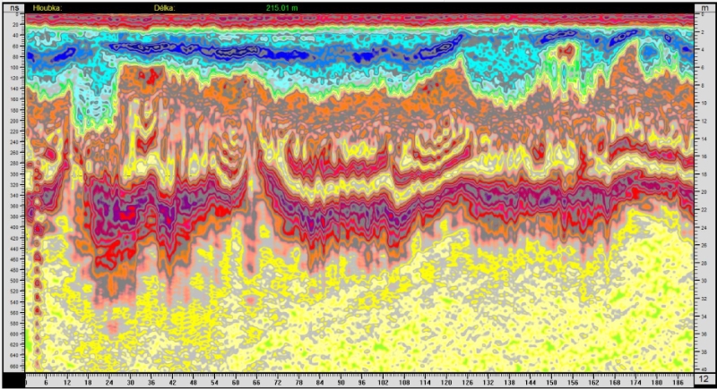
This test measurement was already done in 2013. I returned to it today (2022). I apply our latest Spirio SW. We have put some very useful filters in it and we can also choose a color scale to display the values of the reflected wave. It was thus possible to “extract” more details and small changes in the permittivity of the rocks from the old radargrams. The color range has enriched the somewhat drab original display with more colors, they say it’s finally a bit more cheerful… judge for yourself.
Measurements in the Chebská basin, cracks and vertical dips were observed here, which could confirm the very slow subsidence of the basin. There are sands and gravels, cracks are distinguished by changes in permittivity and conductivity. Data filtering is performed at very low frequencies up to 1 MHz.
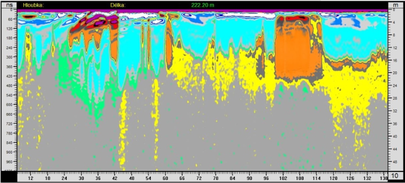
The upper left area can be enlarged and highlighted with a gradient filter. The padding structure appears.
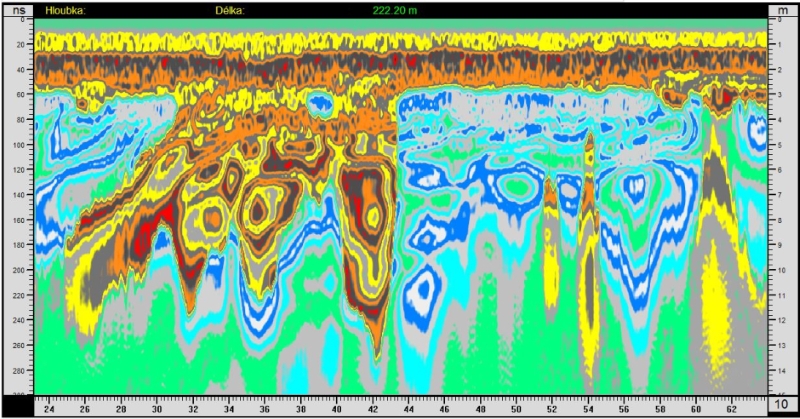
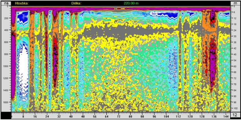
About 1 km further, the lower radargram was measured. Captures in the left part a series of oblique cracks.

The profile measured in Prague at Ladronka is over 1 km long. In addition to several vertical cracks, a change in the permittivity of the rocks can be seen at a distance of 440 m. There may be a geological fault or just shifted blocks of rock.
No change is shown on the geological map of the Czech Republic at this place.

Data processed in 2022.

Profile near the wall of the Hvězda complex in Prague.
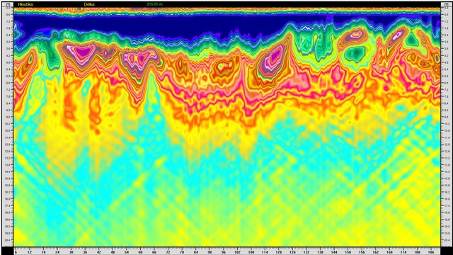
And once more – recently processed data in 2022, a view down to a depth of 40 m. On the far left at a distance of 3 m, there is a cavity resonating at a depth of around 20 m, probably a tunnel.
|